The problem
After a storm, everyone needs the same answer fast.
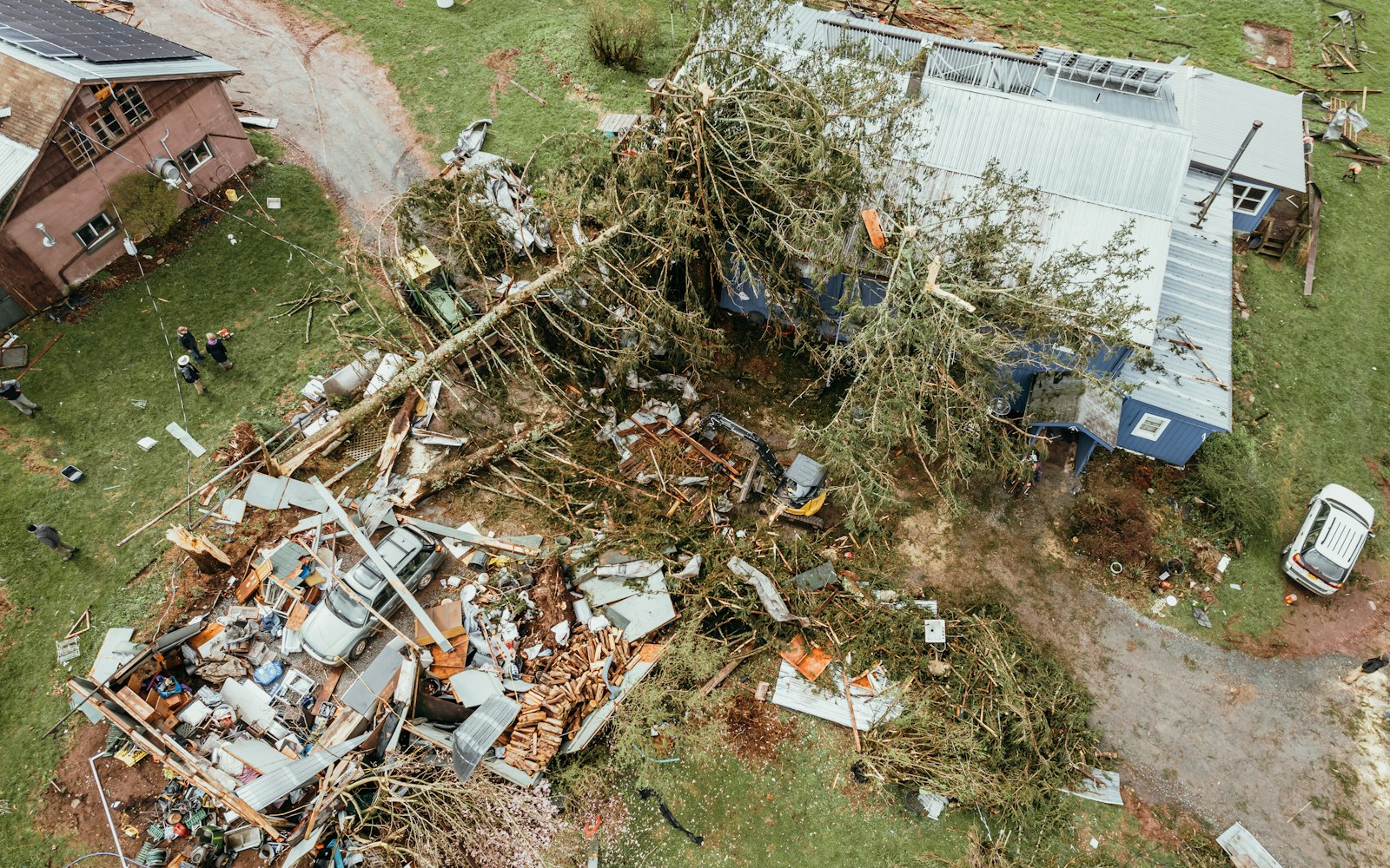
Owners need repairs scoped, adjusters need evidence, utilities need damage located. Walking every roof and span takes weeks the recovery doesn’t have.
Post-storm aerial documentation for insurers, utilities, and owners — damage mapped, dated, and delivered fast.
Post-storm flights capture every affected structure in high resolution — georeferenced and time-stamped, so owners, adjusters, and utilities argue from the same evidence.
 Every roof documentedhigh-res detail
Georeferencedtime-stamped
Claim-ready packageadjuster + FEMA formats
Every roof documentedhigh-res detail
Georeferencedtime-stamped
Claim-ready packageadjuster + FEMA formats
Owners need repairs scoped, adjusters need evidence, utilities need damage located. Walking every roof and span takes weeks the recovery doesn’t have.
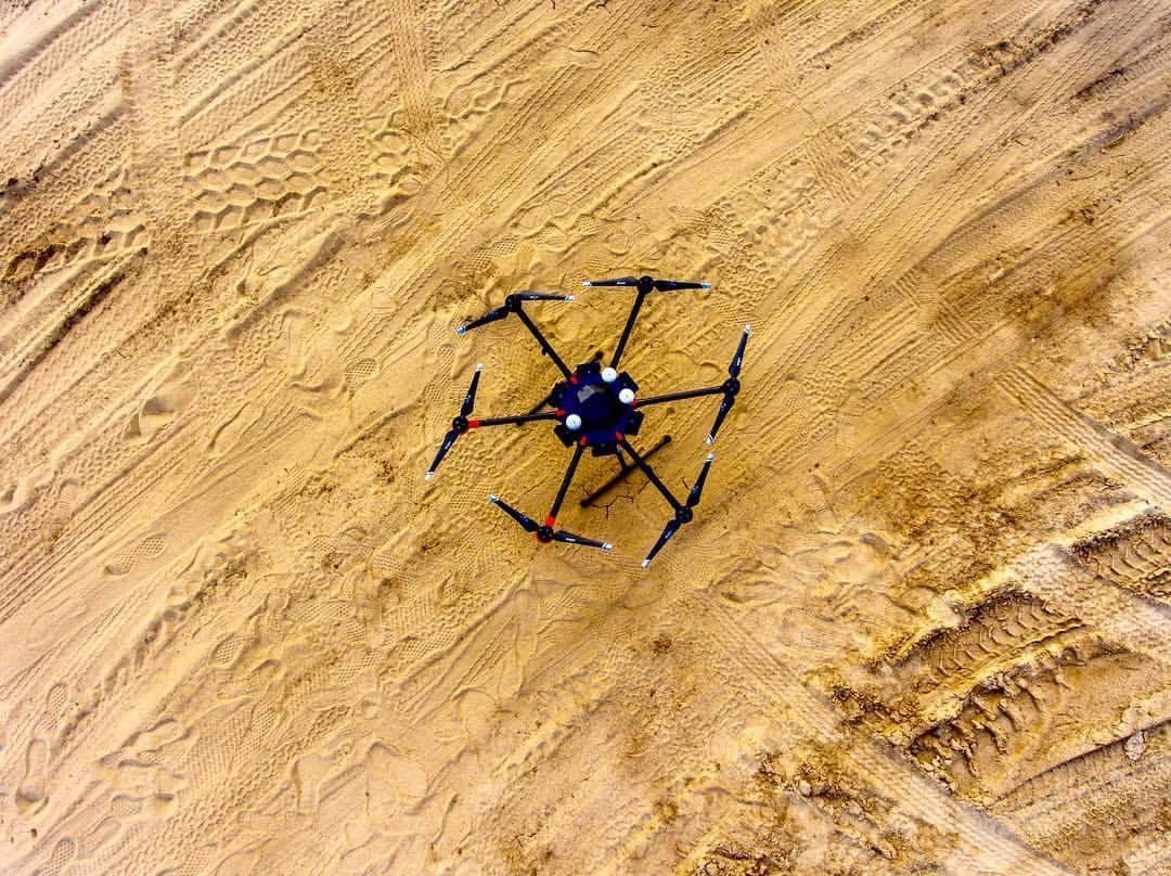
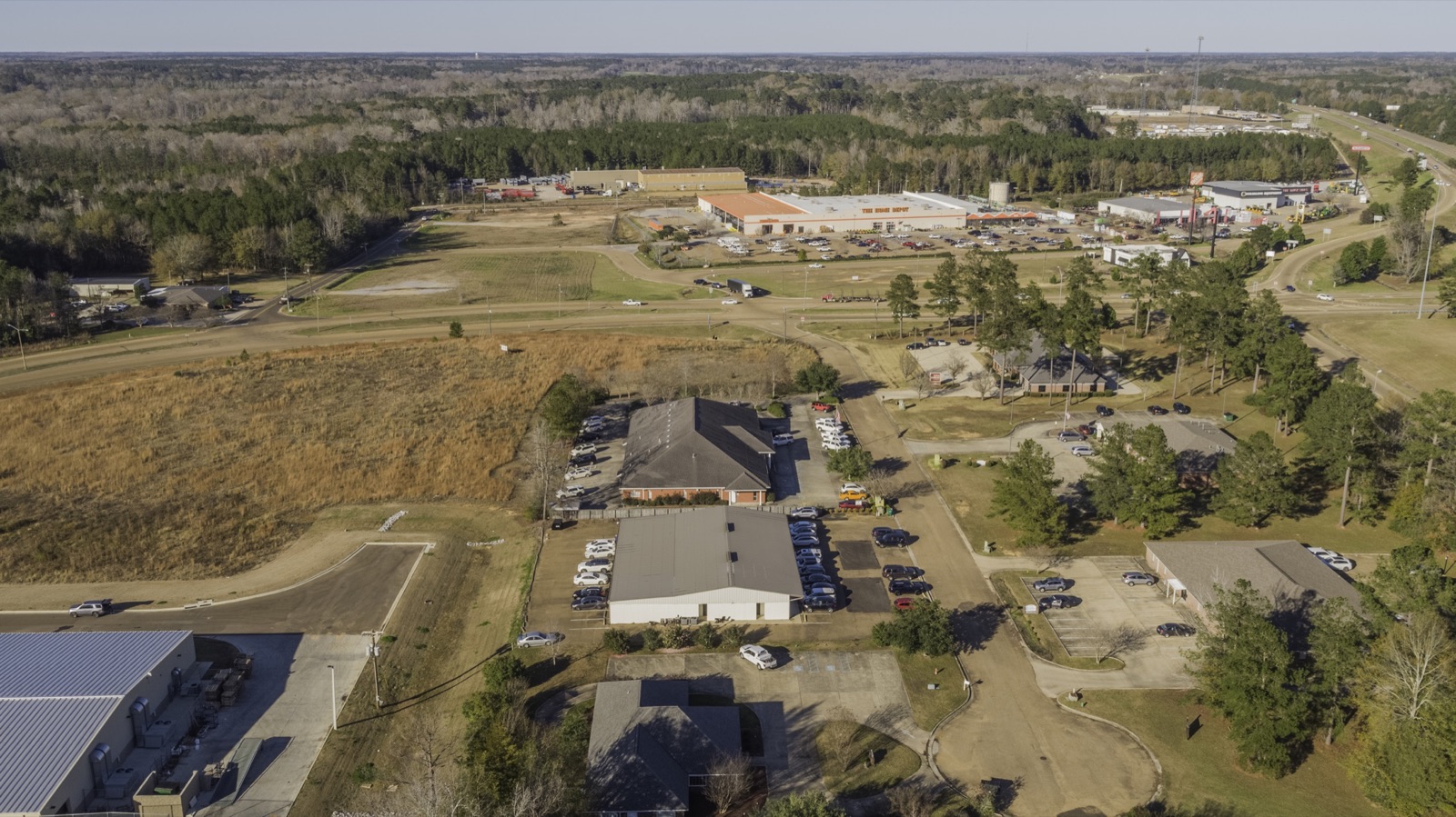
High-resolution capture of every structure, span, or acre in scope — flown systematically so nothing gets missed and nothing gets photographed twice.
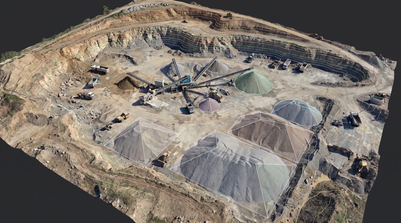
Orthomosaics put the whole event in one measurable picture; detail imagery documents each structure. Where pre-storm data exists, before and after line up side by side.
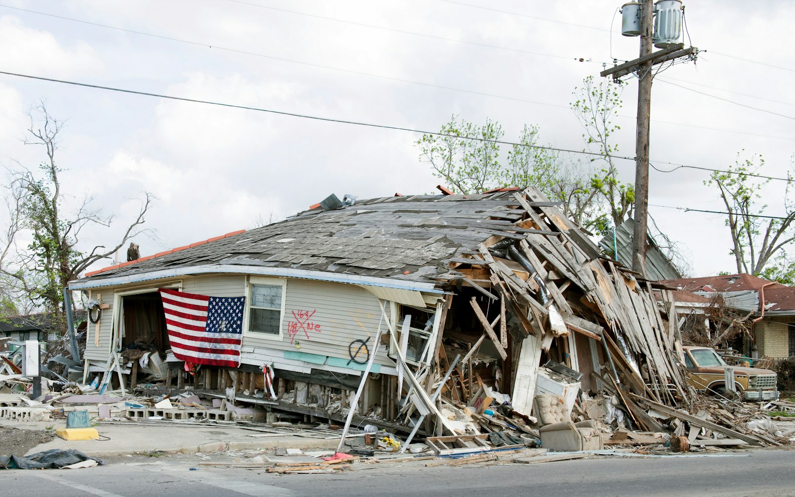
Documentation packages are formatted for adjusters and FEMA submissions, and repair crews get an accurate scope before they roll a truck.
After a storm, the first accurate record wins. Skyflex flies post-event assessments that capture the true condition of roofs, structures, utilities, and land — georeferenced, time-stamped, and delivered fast enough to matter for emergency response and insurance timelines.
Property owners and managers, insurers and adjusters, utilities restoring service, and municipalities assessing public infrastructure. Mississippi-based, deploying nationwide when the weather goes bad.
Insurance timelines, FEMA documentation windows, and emergency repair decisions all reward speed — but only if the record is defensible. Photos from a phone prove little; georeferenced aerial imagery with timestamps proves condition, extent, and date beyond argument. We fly as soon as airspace and weather allow, and deliverables move the same week.
We capture to the standard the claim needs: whole-roof detail for adjusters, span-by-span documentation for utilities restoring service, and orthomosaic overviews that let emergency managers see the whole event in one measurable picture. Where we hold pre-storm data on a site, before-and-after comparisons come standard.
Our FAA-certified pilots are ready to deploy. Get your free site assessment today.