
Skip to content
SKYFLEX Get a Quote

Corridor Mapping: Linear ROW Surveys

Pipelines, transmission, fiber, rail, highways. Continuous corridor deliverables for miles.

Inside the deliverable

Miles of right-of-way in one mission.

Continuous corridor deliverables for transmission, pipeline, fiber, and rail — every structure logged, every span measured, from one mobilization.

Transmission line corridor receding to the horizon at sunrise Structure-by-structureevery tower logged Sag & clearancemeasured per span Continuous ROWmiles per mission
  • Structure-by-structureevery tower logged
  • Sag & clearancemeasured per span
  • Continuous ROWmiles per mission
How corridor mapping helps your business

Four steps from your problem to your win.

Your problem

You need to survey a linear right-of-way: pipeline, road, rail, transmission: that's long and hard to access.

Miles of corridor. Mixed terrain. Vegetation. Property-line management. Every traditional approach is slow.
What we capture

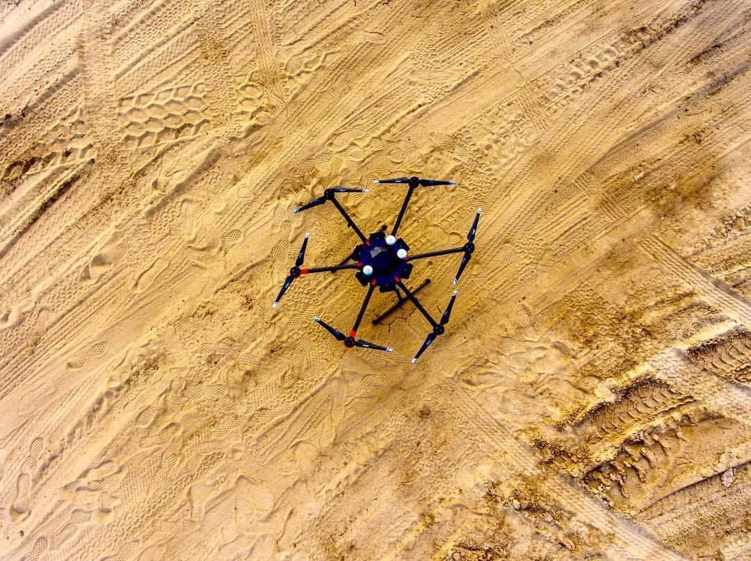
Our drone flies the entire corridor in a single mission: aerial photography, LiDAR, or both.

Programmed flight path. Consistent altitude and overlap. Geo-referenced to your control.
The deliverable

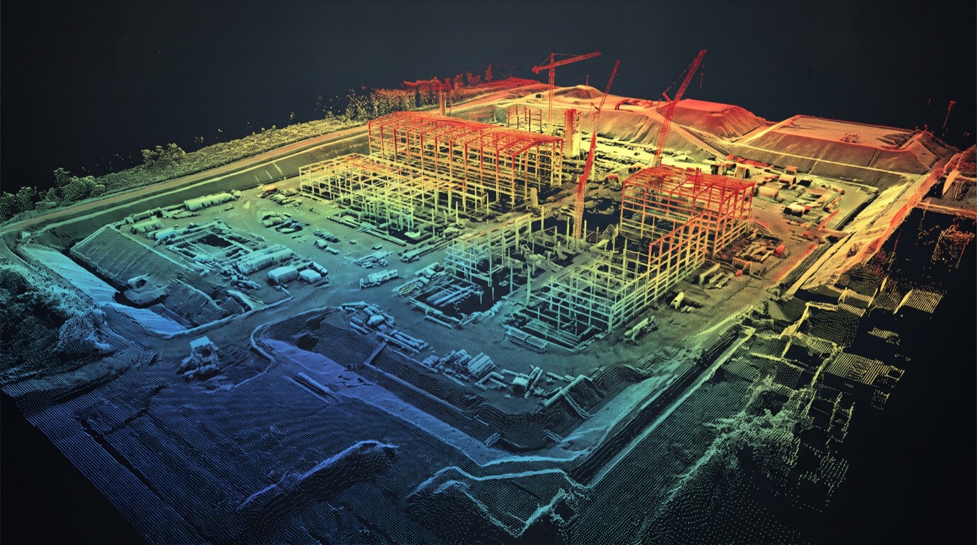
An orthomosaic + 3D point cloud of the corridor: ready for engineering, ROW management, or compliance.

High-resolution ortho. LAS/LAZ point cloud. Vegetation encroachment analysis. Sectional profiles.
How it pays off

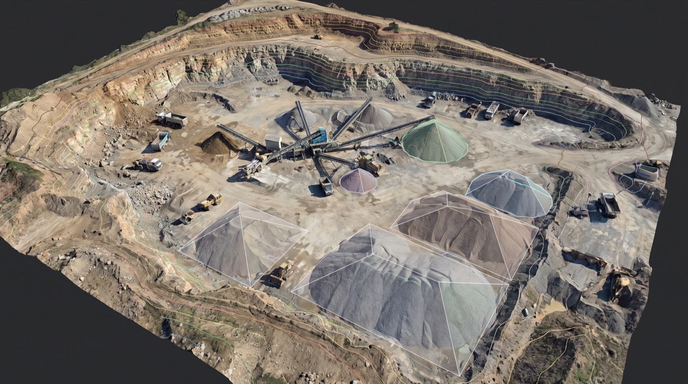
Miles of corridor surveyed in a day. Up-to-date documentation for engineering, encroachment, compliance.

Pipeline integrity. Road maintenance planning. ROW vegetation management. Rail corridor monitoring.

Linear infrastructure asks for the same data products as a site survey: orthomosaic, classified point cloud, terrain model, encroachment report: just stretched along a narrow ribbon for tens or hundreds of miles. Pipelines, transmission and distribution lines, fiber routes, rail, highways, canals. Skyflex flies long strips with survey-grade control, stitches the captures into a continuous corridor, and hands back a deliverable your operations team can navigate end-to-end.

What we deliver on a corridor mission

  • Continuous corridor orthomosaic in GeoTIFF: the full length of the right-of-way as one georeferenced image.
  • Classified LiDAR point cloud with ground, vegetation, structures, and conductors (when over a power line) separated.
  • DTM and DSM along the ROW: bare-earth terrain plus surface model.
  • Breaklines for structures, edges, and feature changes: ready for CAD ingest.
  • KMZ overlays for field-crew review in Google Earth or any mobile mapping app.
  • Encroachment and clearance reports: vegetation in the ROW, structures inside the safety envelope, anything that wasn’t there last inspection.
  • CAD-ready and BIM-ready exports: deliverable format confirmed against your operator’s GIS on the kickoff call.

The platform: long endurance, survey-grade payload

Short corridors are flown on multi-rotor; longer pulls run on VTOL fixed-wing platforms that can cover dozens of miles in a single sortie. Sensors are survey-grade: LiDAR for vegetated or terrain-heavy corridors where the bare-earth surface matters, high-resolution mapping camera for open corridors where the visible surface is enough. RTK or PPK GNSS reduces ground-control density without sacrificing accuracy class.

BVLOS and the long-pull question

Most corridor work today flies under FAA Part 107 with the pilot keeping the aircraft within visual line of sight. Longer continuous pulls require a Beyond Visual Line of Sight (BVLOS) waiver, which has become more accessible but is still scoped per project. The forthcoming Part 108 framework is expected to formalize routine BVLOS operations: Skyflex tracks that rulemaking and updates clients on whether a planned program can wait for the regulatory pathway or needs a current waiver. The short version: we don’t quote you mileage we can’t legally fly.

The questions buyers ask first

  • How many miles per flight day? Depends on sensor mix, required accuracy class, and BVLOS authorization. Open-corridor VTOL with photogrammetry covers far more ground than dense-vegetation LiDAR. We size flight-day expectations to the actual sensor and authorization in scope.
  • What accuracy class along the corridor? Reported against ground control with horizontal and vertical residuals end-to-end: we don’t average over miles when the operator needs to know what each station can be trusted to measure.
  • BVLOS waiver status for our project? We assess whether a current waiver applies, whether a new waiver is feasible in the project timeline, or whether the work needs to stage in Part-107-compliant segments. Clear on the kickoff call.
  • Will the deliverable integrate with our GIS / asset register? Operator stacks vary widely: PowerLine Systems, Bentley OpenUtilities, ArcGIS Pipeline, custom in-house. We confirm before mobilization and deliver in the format that ingests cleanly.
  • How do you handle crossings? Roads, rail, waterways, and structure crossings are flight-planned in advance with the relevant authorities; emergency procedures + crossing-specific risk assessments are part of the standard mission plan.

Regulatory tie-ins by corridor type

  • Transmission line corridors: the deliverable supports NERC FAC-003 documentation when the structures and vegetation classifications are scoped that way.
  • Regulated pipeline corridors: PHMSA documentation expectations shape the deliverable formatting and retention; we coordinate with your integrity-management team during scoping.
  • Rail and highway corridors: coordination with the responsible operating authority (railroad, state DOT) governs flight windows and traffic-control needs.

Who buys corridor mapping

Pipeline operators (oil, gas, refined-products, water), electric utilities and transmission operators, rail operators, state and federal transportation agencies, fiber and telecom carriers building out new ROW, and vegetation-management contractors who serve any of the above.

How it’s priced

  • Per-linear-mile: the dominant model.
  • Mobilization fee for staging, crew, and any required regulatory coordination.
  • Fixed processing line item covers classification, encroachment reporting, and deliverable formatting.
  • Per-mile rate drops as total mileage grows; rises with required accuracy class, sensor mix (LiDAR + camera vs camera-only), and the number of deliverable formats.
  • Annual programs for owners with recurring inspection cadences (transmission FAC-003, pipeline integrity surveys) are quoted with mobilization amortized across the program.

Ready to start your mission?

Our FAA-certified pilots are ready to deploy. Get your free site assessment today.