Your problem
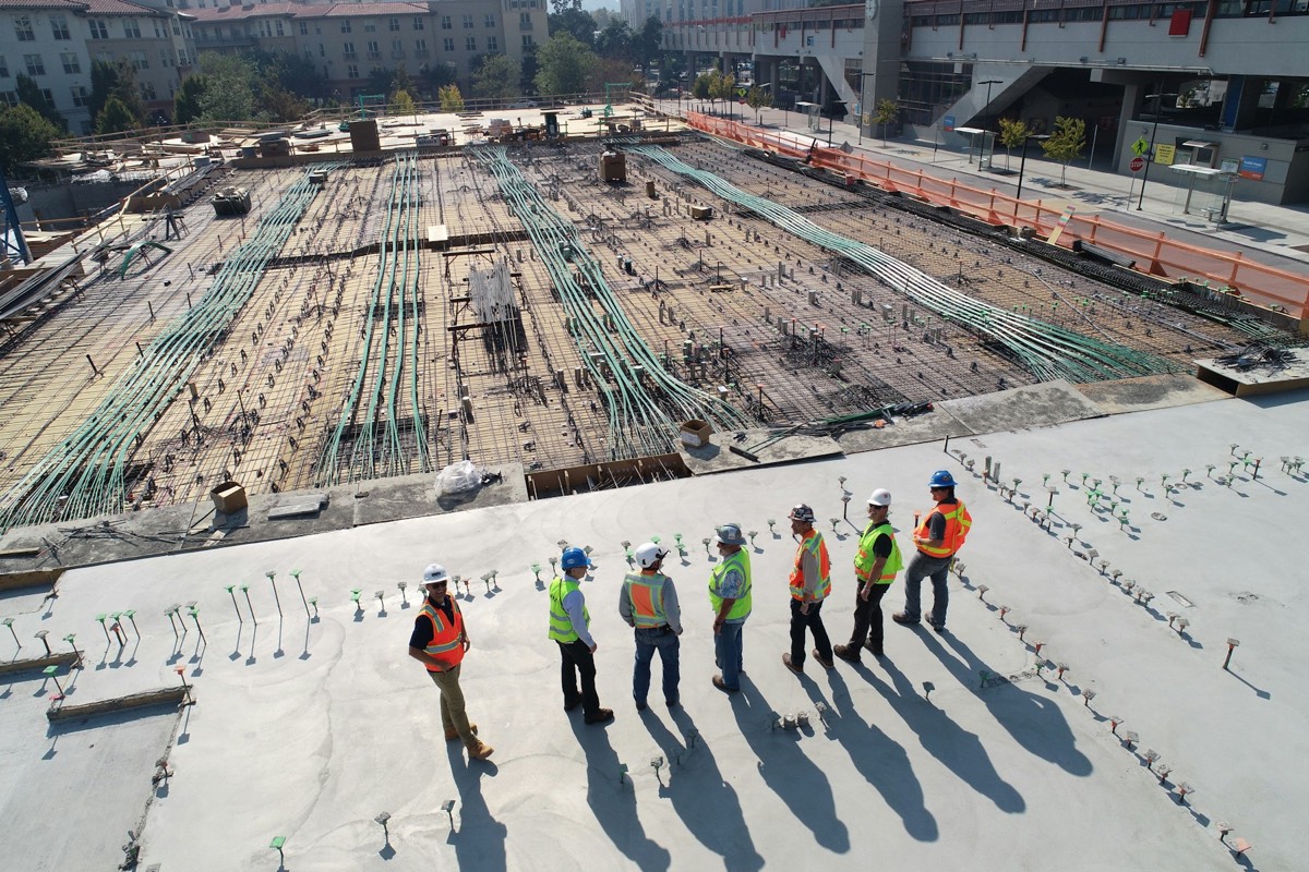
You're managing a project where progress documentation, owner reporting, and as-builts are constant friction.
Owners want updates. Lenders want photos. Subs blame each other. As-builts get drawn from memory at closeout.
Weekly subscription cadence. Portal-published date-stamped progress maps and 3D site models.
A weekly flight publishes a date-stamped point cloud and progress map to your portal — measure earthwork, verify as-builts against design, and settle claims with data instead of memory.
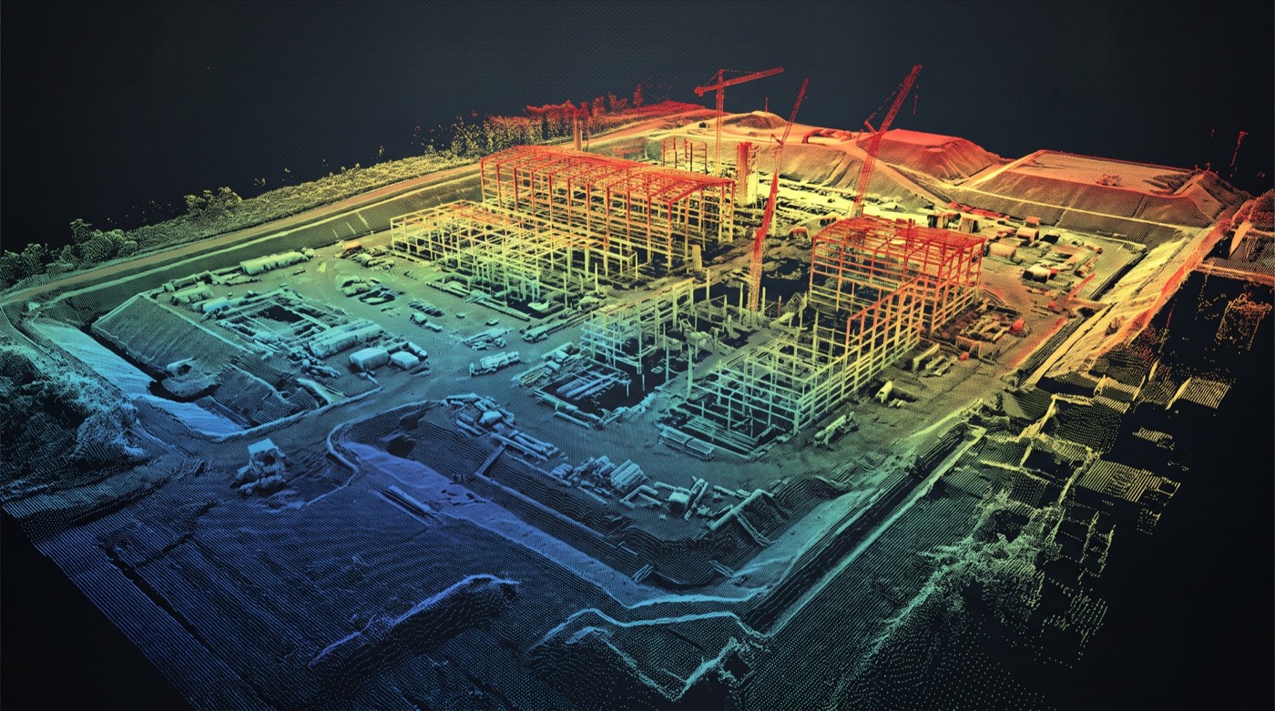 As-built vs. designdeviation map
Earthwork volumecut / fill
Date-stampedweekly cadence
Portal-publishedwhole team
As-built vs. designdeviation map
Earthwork volumecut / fill
Date-stampedweekly cadence
Portal-publishedwhole team
Owners want updates. Lenders want photos. Subs blame each other. As-builts get drawn from memory at closeout.
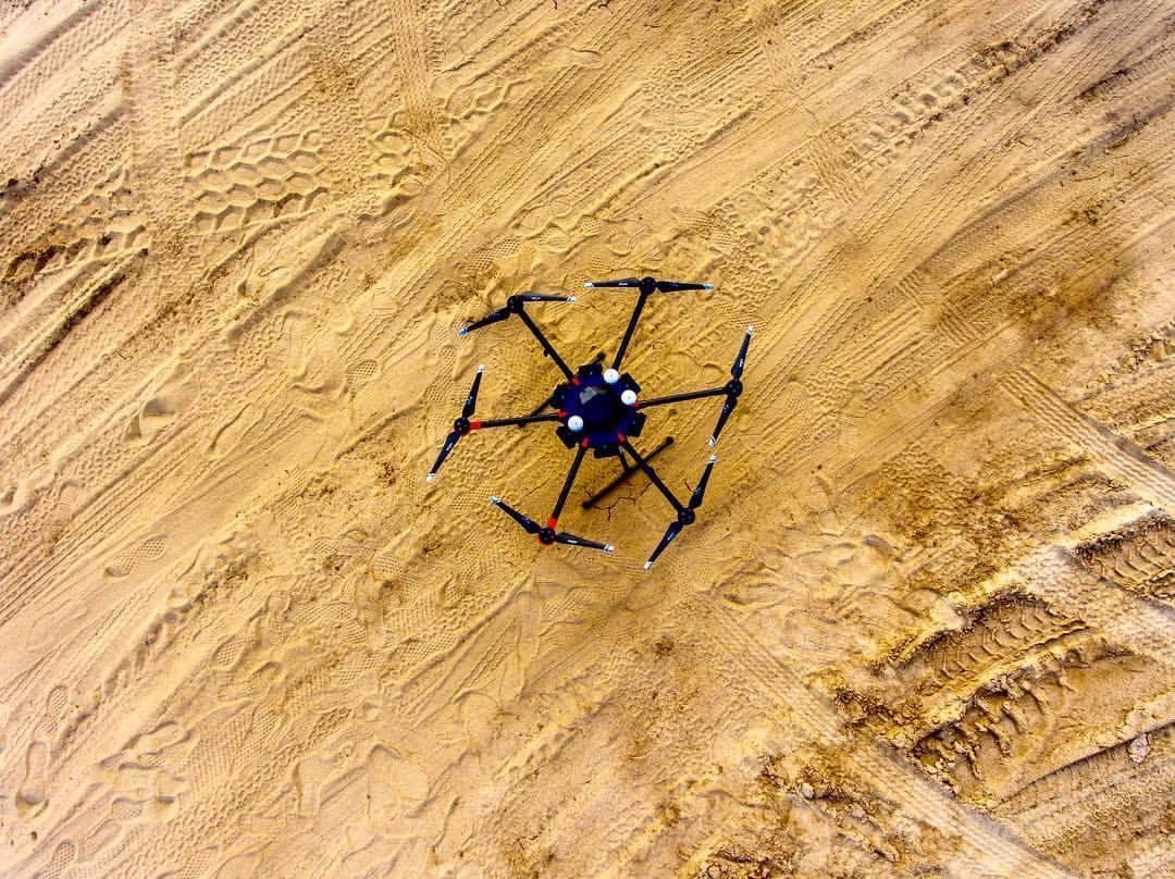
Same flight plan every visit. Comparable imagery over time. Ground control points for measurable accuracy.
Photo gallery. Orthomosaic time-lapse. 3D model evolution. Volume calculations. Shareable links.
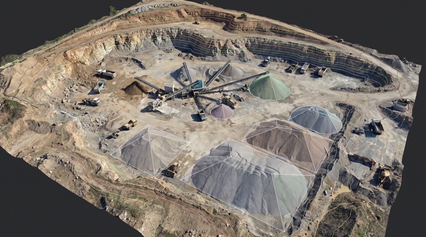
One source of truth for owner, GC, subs, lender, and insurer. Faster RFI responses. Cleaner closeout.
An active job site changes faster than a clipboard can keep up with. A weekly drone overflight produces a date-stamped 2D map and 3D model of the whole site, published to a project portal your team already uses. Owners verify schedule. GCs settle change orders with a visual record. Civil contractors measure dirt without sending a surveyor.
One-off as-built scans still have a place, but the value of aerial site documentation comes from cadence. A weekly flight schedule means every Friday afternoon you have a fresh georeferenced site capture: today’s orthomosaic, today’s 3D model, today’s earthworks volumes, today’s progress photo set. Six months later, the deliverable is a full schedule-defensible timeline. Skyflex’s construction work is sold as a monthly per-site subscription: flights, processing, and portal access included.
Standard is a weekly flight, but the schedule bends to your project. High-activity phases (mass excavation, vertical pour, structural steel) can move to bi-weekly captures. Closeout phases drop back to monthly. We coordinate flight windows with your superintendent so we don’t conflict with critical lifts, and we publish the deliverable within roughly 24-48 hours of the flight. LAANC authorization is handled for any controlled-airspace work.
General contractors, owner-developers, civil and earthworks contractors, public-works agencies, and infrastructure GCs. The pattern is the same across all of them: a fresh site capture every week, published to a portal everyone already reviews, with measurement tools the engineer and the PM can both use.
Per-site rates depend on acreage, flight complexity (airspace, terrain, obstructions), and whether ground control is included. We scope the program with your operations team before the first flight so the deliverable schedule and the invoice line items both match what your project controls system expects.
The proof is public: our nine-part construction update series for The Jayhawk Club documented a full build — demolition day, weekly earthwork and structural progress, and a final timelapse — every flight delivered to the whole project team. That is exactly the cadence this service runs on your site.
Watch the construction series in our gallery, or ask us to walk you through what a weekly monitoring package looks like for your project.
Our FAA-certified pilots are ready to deploy. Get your free site assessment today.