Your problem
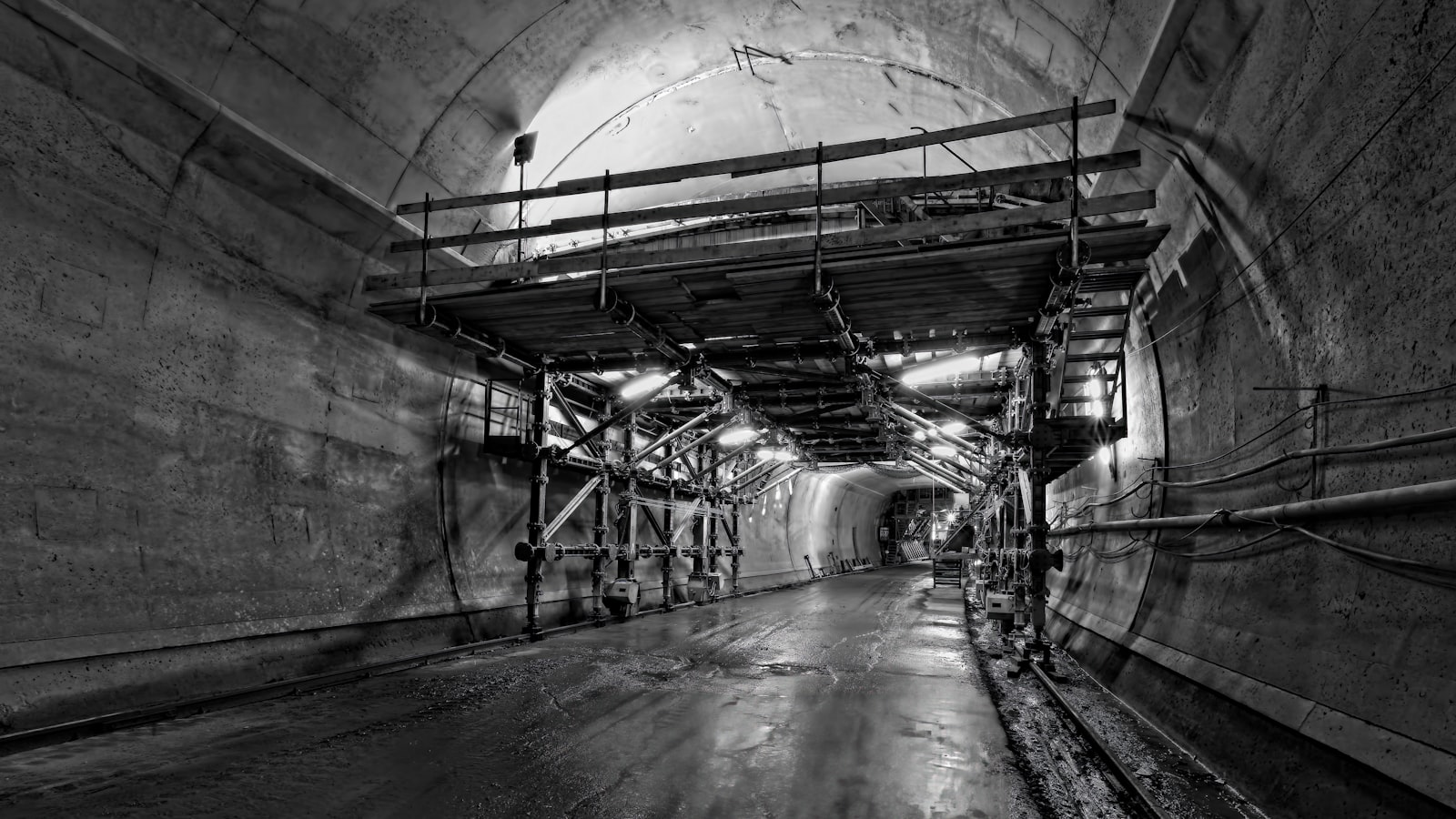
You need to map an interior, tunnel, mine, or GPS-denied space where drones can't fly.
Hospital floors, manufacturing plants, mines, basements, dense urban interiors. GPS doesn't work. Walking with a tripod takes days.
GPS-denied indoor & underground 3D mapping. Tunnels, basements, multi-story interiors, mines.
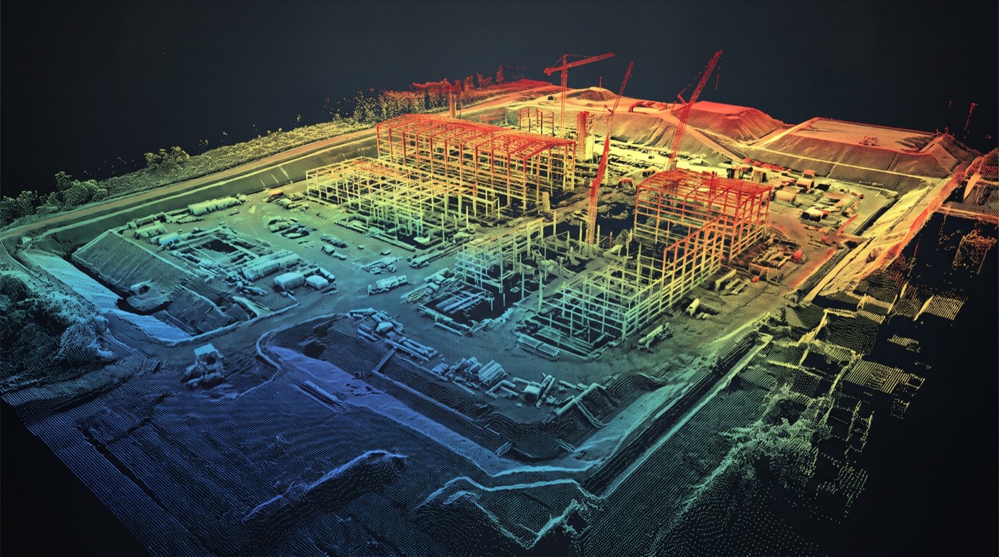
A walked or flown SLAM scanner closes the loop with no satellites — tunnels, basements, mines, multi-story interiors — and returns the same classified, measurable point cloud your CAD tools already read.
 Loop-closed geometryno GNSS drift
Walk / fly captureGPS-denied
Registered to control±2–4 cm
Loop-closed geometryno GNSS drift
Walk / fly captureGPS-denied
Registered to control±2–4 cm
Hospital floors, manufacturing plants, mines, basements, dense urban interiors. GPS doesn't work. Walking with a tripod takes days.
Sub-centimeter point cloud built as we walk. No GPS, no tripod, no setup per station. Loop-closed for accuracy.
Same outputs as aerial LiDAR: for spaces drones can't reach. Compatible with Revit, AutoCAD, ReCap.
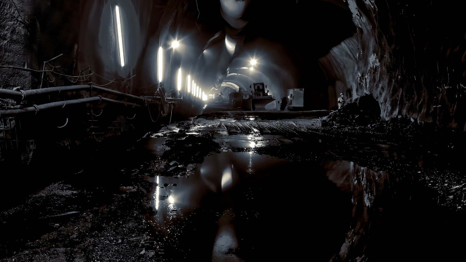
Especially valuable for renovation, plant retrofits, hospital expansions, BIM-for-existing-buildings projects.
Some spaces don’t have a sky. Basements, tunnels, underground utilities, multi-story interiors, mines, dense canopy: anywhere a drone can’t go and GPS can’t see. A SLAM scanner solves that. The operator walks through the space carrying a handheld, pole-mounted, or backpack-mounted LiDAR; the scanner uses Simultaneous Localization and Mapping to build its own coordinate system on the move, fusing laser returns with inertial data. No satellite signal required. The result is a measurable 3D model of an environment that aerial capture can’t reach.
If the space is open and visible from the air, aerial LiDAR is faster and cheaper. If the space is inside a tank or vessel and your crew shouldn’t enter, that’s a confined-space drone job. SLAM ground-based scanning is the in-between tool: facility interiors, utility tunnels, parking decks, retail buildouts, industrial floors, library and museum scans, mine shafts. We pick the scanner type (handheld for cramped spaces, pole for over-counter or wall-mounted detail, backpack for long traverses) based on the room you have to work in.
OSHA general-industry standards apply whenever we work inside an active facility. If the scan crosses into a permit-required confined space, your entry program governs the access: and depending on the hazard profile, a caged inspection drone may be the appropriate tool instead of sending a SLAM operator inside. We scope the safety arrangement before mobilization.
AEC firms running scan-to-BIM on existing buildings, facility owners documenting plants for asset management, plant maintenance teams tracking change over time, heritage documentation projects (libraries, courthouses, historic landmarks), underground utility operators mapping vaults and tunnels, and mining operators capturing shaft and adit geometry.
Our FAA-certified pilots are ready to deploy. Get your free site assessment today.