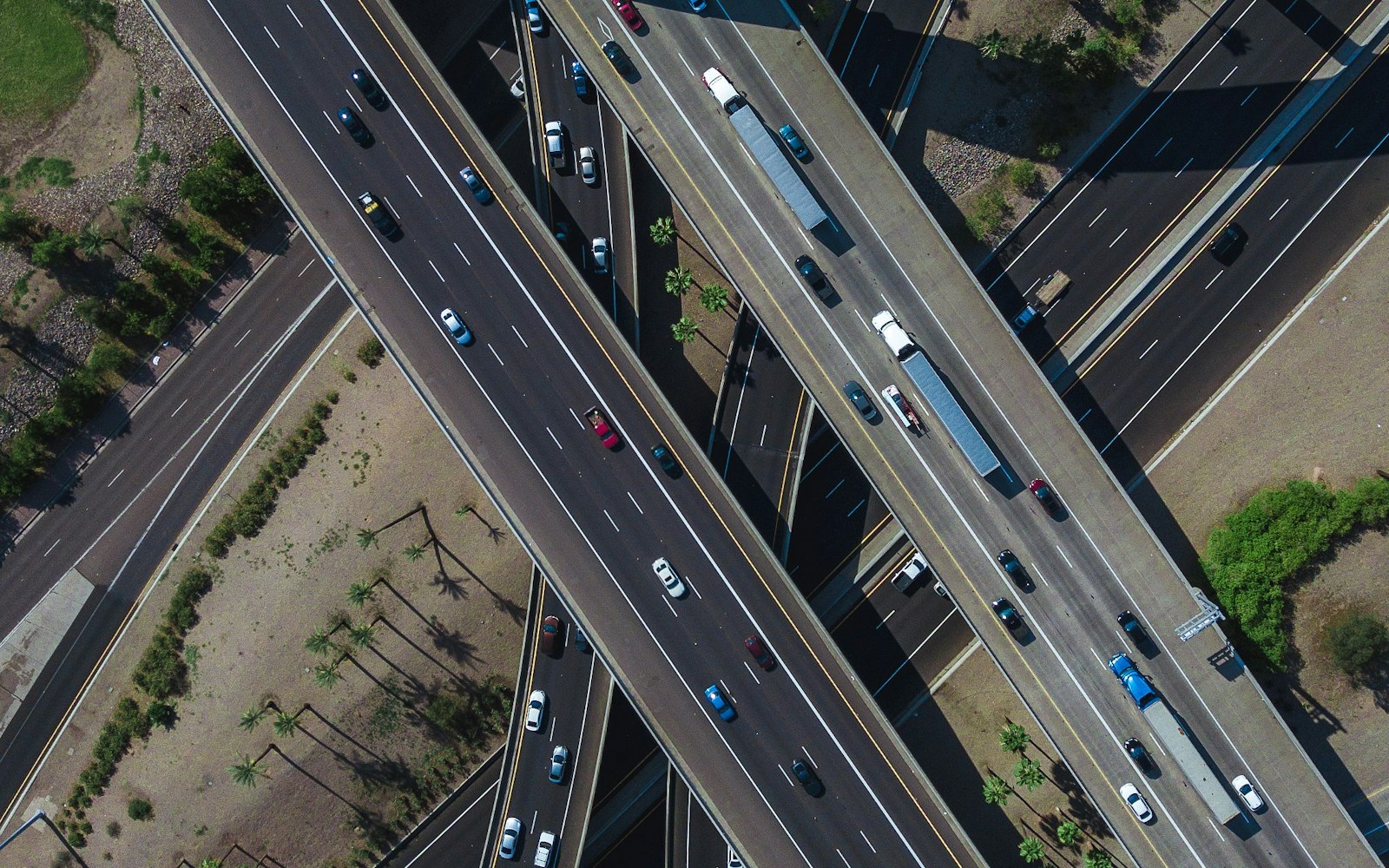
Your problem
You need a measurable, scaled visual model of a site: not just a snapshot.
Stockpile volumes, construction progress, as-built drawings: anything where you need numbers attached to imagery.
GeoTIFF orthomosaic, DEM, 3D textured mesh from overlapping high-resolution flight imagery.
Overlapping high-resolution imagery is fused into a georeferenced orthomosaic and textured mesh — every surface, volume, and grade measurable straight from your browser or CAD.
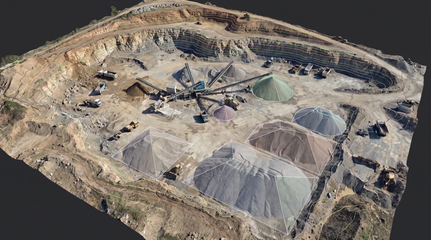 Measured volumefrom the mesh
Georeferencedsurvey control
GeoTIFF + OBJCAD / GIS ready
Ground sample2 cm / px
Measured volumefrom the mesh
Georeferencedsurvey control
GeoTIFF + OBJCAD / GIS ready
Ground sample2 cm / px
Stockpile volumes, construction progress, as-built drawings: anything where you need numbers attached to imagery.
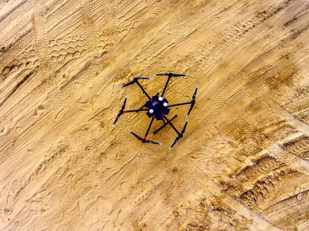
Each photo geo-tagged. Ground control points placed for survey-grade accuracy.
Open it in any GIS / CAD / 3D viewer. Measure distances, calculate volumes, generate contours.
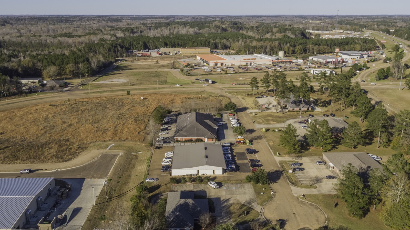
Replaces days of ground measurement with a one-hour flight. Re-fly any time to compare against the baseline.
When the surface is open and clearly visible: a stockpile, a quarry face, an active construction site, a flat roof, broad earthworks: photogrammetry is the right tool. We fly a tight lawn-mower pattern over the site, capture hundreds to thousands of overlapping high-resolution photos, and software triangulates pixel matches across images to reconstruct a precisely scaled 3D model and a top-down orthophoto map.
Two simple rules. If your site is open, dry, and you can see the surface, photogrammetry is faster to fly, less expensive per acre, and produces a richer-looking visual deliverable. If your site is wooded, holds standing water, or you specifically need the bare-earth surface beneath vegetation, that’s a LiDAR job. We scope to whichever tool the deliverable actually needs.
We fly high-resolution mechanical-shutter mapping cameras on survey-grade UAVs with RTK or PPK GNSS for tight control reduction. Horizontal accuracy is reported against ASPRS Positional Accuracy Standards as a function of Ground Sample Distance: and we choose the GSD at the flight planning stage to match what your deliverable actually needs, not just the resolution of the sensor.
Construction contractors, aggregate operators (stockpile measurement and haul-road surveys), land developers, environmental assessment firms, and broad-acre agriculture operations. The pattern: the surface is visible, the project values a richer visual deliverable, and the budget runs tighter than survey-grade LiDAR.
Our FAA-certified pilots are ready to deploy. Get your free site assessment today.