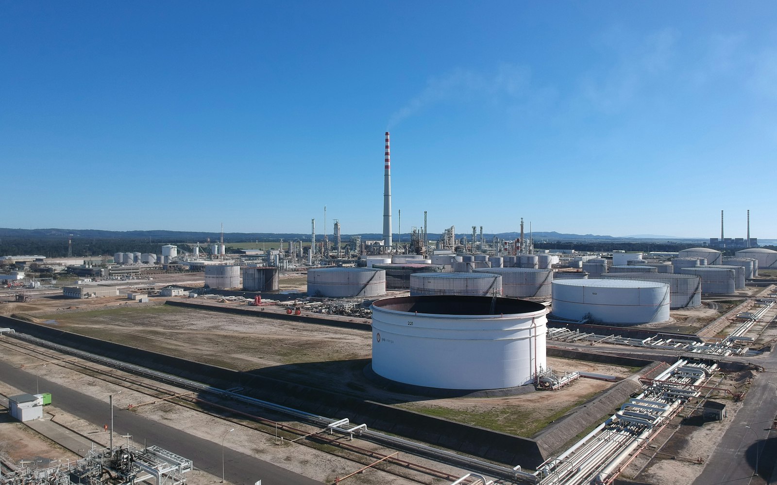
Your problem
Your team makes decisions about a facility or asset they can't physically visit every week.
Remote sites, vendor coordination, design reviews, training new staff: all blocked by "you have to be there to see it."
Sensor-fused 3D replica of an asset. Updated on schedule. Web viewer + BIM-ready exports.
Fused sensor data becomes a measurable digital twin of the asset — viewable in the browser, exportable to BIM, and re-flown on a cadence so the model never goes stale.
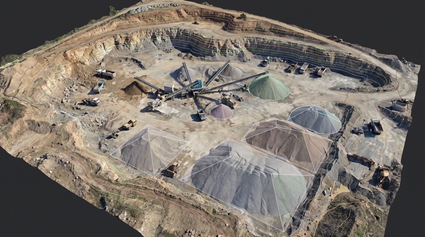 Measurable twinweb + BIM
Change over timere-flown
Survey-accurateto control
Measurable twinweb + BIM
Change over timere-flown
Survey-accurateto control
Remote sites, vendor coordination, design reviews, training new staff: all blocked by "you have to be there to see it."
Indoor and outdoor, every elevation, captured at one point in time and updatable on demand.
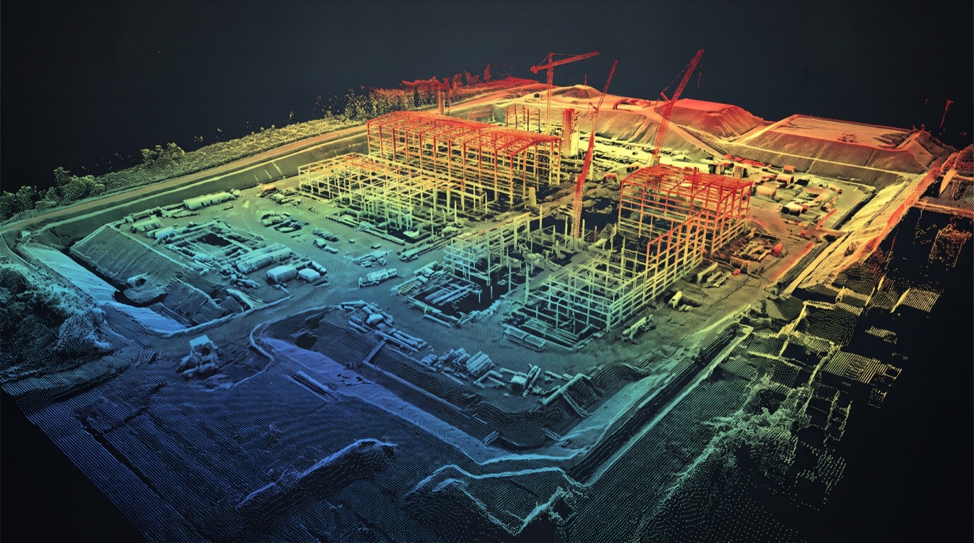
Measure anything. Annotate anything. Share via link. Embed in your operations dashboard.
Used for facility management, remote inspection, vendor onboarding, design coordination, insurance documentation.
A digital twin is a spatially accurate, photo-textured 3D replica of a real asset: a building, an industrial plant, a substation, a refinery unit, a bridge: that lives in software and is updated on a schedule. Engineering, operations, and safety teams use the twin to measure, plan, train, and track change without resending people to site. It’s the difference between “we’ll send someone next month” and “we already have it, right now, in the viewer.”
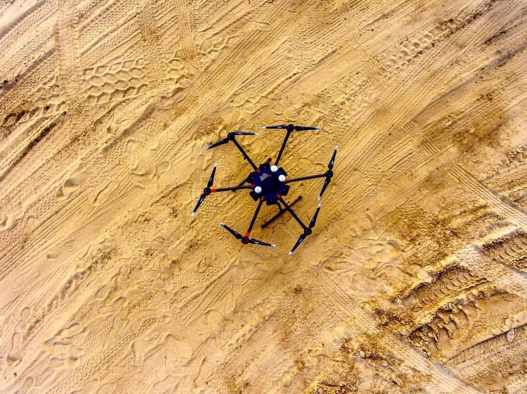
A complete twin combines three datasets captured in a single coordinated visit. Aerial LiDAR covers the rooftop, vegetation-obscured ground, and elevated structures with bare-earth precision. Aerial photogrammetry wraps the exteriors in high-resolution color texture. Ground-based SLAM LiDAR handles the indoor and underside spaces the drone can’t reach: control rooms, basements, deck undersides, confined corridors. All three streams are registered to the same site control network so the final twin is a single coherent model.
Heavy industrial owners (refineries, chemical plants, generation facilities), utilities (substations, control rooms, switchyards), energy operators (terminals, storage, processing facilities), AEC firms managing complex projects across years, public-sector asset owners (large facilities, ports, transit hubs), and defense facility operators with sensitive-site security requirements.
The pricing pattern mirrors our construction monitoring programs: a project to start, a subscription to keep it current.
Our FAA-certified pilots are ready to deploy. Get your free site assessment today.