
Your problem
Your utility infrastructure is aging, hard to reach, and a failure means outages or wildfire risk.
Insulator cracks, conductor corrosion, vegetation encroachment, hardware looseness: invisible until they fail.
NERC FAC-003 documentation, MVCD encroachment reports, thermal anomalies, structure-by-structure capture.
Structure-by-structure capture pairs high-resolution visual with radiometric thermal — NERC FAC-003 vegetation encroachment, MVCD clearances, and thermal anomalies, documented without an outage.
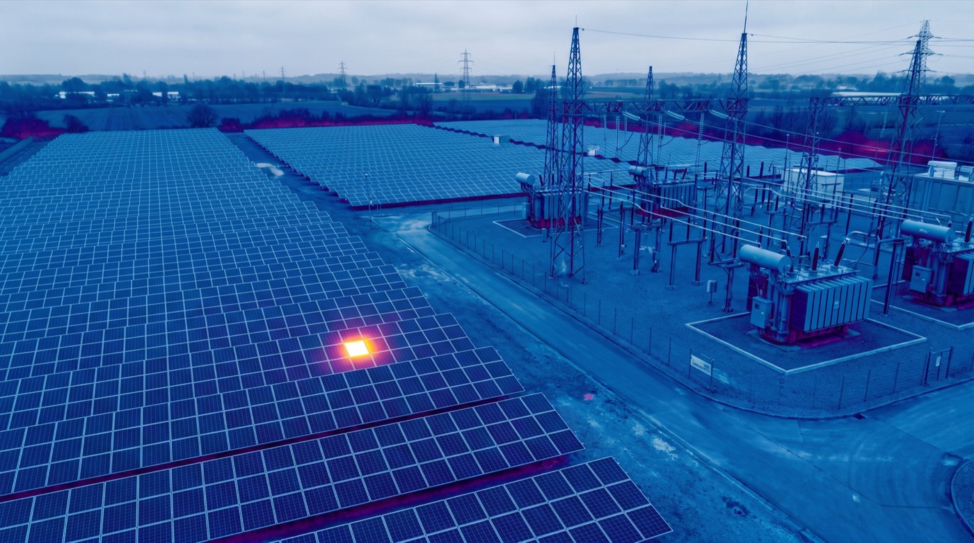 Thermal anomalyhot connection
MVCD clearancemeasured
Structure-by-structureno outage
Thermal anomalyhot connection
MVCD clearancemeasured
Structure-by-structureno outage
Insulator cracks, conductor corrosion, vegetation encroachment, hardware looseness: invisible until they fail.

RGB at 45 MP for visible defects. FLIR thermal for hot connections. GPS-tagged every frame.
PDF report. Geo-tagged photo library. CSV defect database. Integrates with your asset-management system.

Reduces unplanned outages. Defensible documentation for PUC and insurance. Faster prioritization than ground crews.
For investor-owned utilities, cooperatives, and transmission operators, the question on every audit isn’t did you inspect the line: it’s can you prove it, and can you prove the vegetation was clear of the conductor on the date you flew? Skyflex builds the inspection record that makes that answer defensible.
NERC’s transmission vegetation-management standard (FAC-003) requires that covered lines be inspected at least once per calendar year, with no more than 18 months between inspections. The compliance evidence is yours to produce; we make that evidence richer than a checklist. One Skyflex corridor pass captures structural condition, conductor and hardware health, thermal anomalies, and a classified LiDAR point cloud showing vegetation, conductors, and ground separately: all timestamped and georeferenced to the structure.
Most utility corridor work runs energized: no outage required. We coordinate safe approach distances with your transmission planning team, fly under FAA Part 107, and deliver data in the schema your asset-management software expects. If you already publish to a portal (Power Line Systems, Bentley OpenUtilities, an in-house GIS), we hand off the dataset cleanly. If you don’t, we’ll spin up a hosted viewer.
Programs are typically scoped to fit the calendar-year inspection cadence the standard requires: one pass per year minimum, with optional mid-year flights for high-risk corridors or after-storm patrols.
Investor-owned utilities, electric cooperatives, municipal utilities, transmission operators, and the vegetation-management contractors who serve them. Every program is scoped against the specific lines you’re responsible for and the FAC-003 documentation your compliance team wants to file.
Our FAA-certified pilots are ready to deploy. Get your free site assessment today.