Skip to content
SKYFLEX Get a Quote

Digital Twins

Sensor-fused 3D replica of an asset. Updated on schedule. Web viewer + BIM-ready exports.

Inside the deliverable

A living 3D replica, updated on schedule.

Fused sensor data becomes a measurable digital twin of the asset — viewable in the browser, exportable to BIM, and re-flown on a cadence so the model never goes stale.
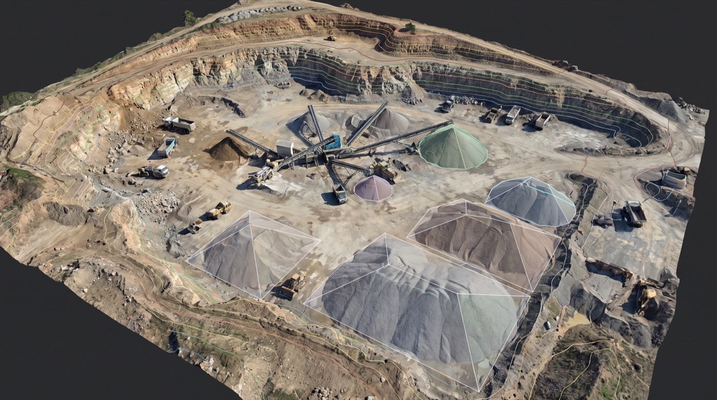
Sensor-fused 3D digital twin of an industrial site Measurable twinweb + BIM Change over timere-flown Survey-accurateto control
  • Measurable twinweb + BIM
  • Change over timere-flown
  • Survey-accurateto control
How digital twins help your business

Four steps from your problem to your win.

Your problem

Your team makes decisions about a facility or asset they can't physically visit every week.

Remote sites, vendor coordination, design reviews, training new staff: all blocked by "you have to be there to see it."
What we capture

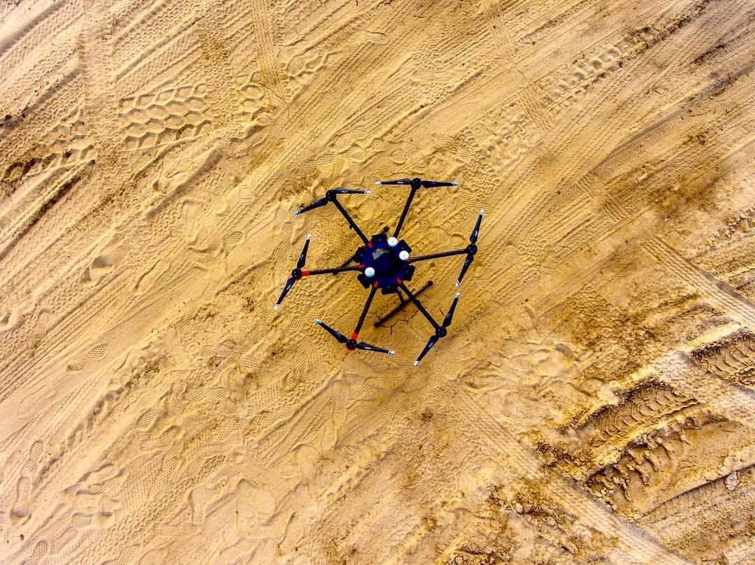
We combine drone photogrammetry, LiDAR, and 360° imagery into one navigable 3D model.

Indoor and outdoor, every elevation, captured at one point in time and updatable on demand.
The deliverable

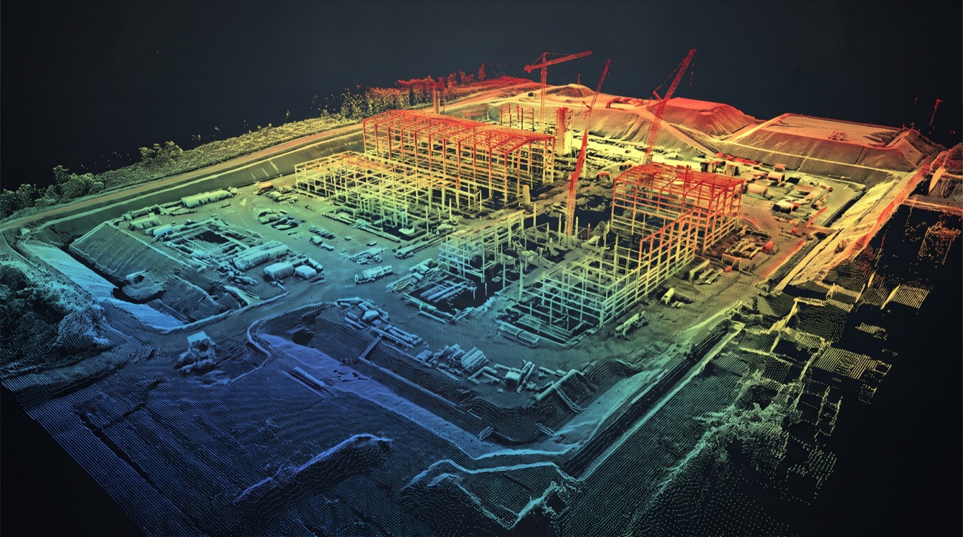
An interactive 3D digital twin you walk through in a browser.

Measure anything. Annotate anything. Share via link. Embed in your operations dashboard.

How it pays off

Cuts site visits. Accelerates handoffs. Gives every stakeholder the same accurate view.

Used for facility management, remote inspection, vendor onboarding, design coordination, insurance documentation.

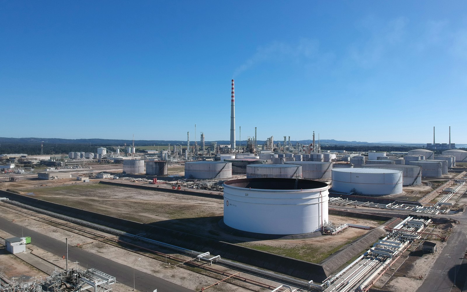
A digital twin is a spatially accurate, photo-textured 3D replica of a real asset: a building, an industrial plant, a substation, a refinery unit, a bridge: that lives in software and is updated on a schedule. Engineering, operations, and safety teams use the twin to measure, plan, train, and track change without resending people to site. It’s the difference between “we’ll send someone next month” and “we already have it, right now, in the viewer.”

What a Skyflex twin actually is

  • Registered point cloud: .E57 / .LAS / .LAZ, tied to your site control network, geometrically defensible for measurement.
  • Photo-textured 3D mesh: .OBJ / .FBX / .glTF for use in 3D engines, presentation tools, or training simulators.
  • Navigable web viewer: your team opens a browser URL and walks the asset; measurement, annotation, and section tools included.
  • BIM-ready exports: IFC or RVT-compatible exports so the twin drops into your Revit / Bentley / Tekla workflow.
  • Scheduled updates: re-capture on the cadence your contract specifies (quarterly, annually, after major events) so the twin doesn’t drift from reality.

The capture: three sensors, one mobilization

A complete twin combines three datasets captured in a single coordinated visit. Aerial LiDAR covers the rooftop, vegetation-obscured ground, and elevated structures with bare-earth precision. Aerial photogrammetry wraps the exteriors in high-resolution color texture. Ground-based SLAM LiDAR handles the indoor and underside spaces the drone can’t reach: control rooms, basements, deck undersides, confined corridors. All three streams are registered to the same site control network so the final twin is a single coherent model.

The questions buyers ask first

  • How often do we need to update it? Depends on the asset and the use. A construction-phase twin updates monthly. A mature industrial plant might re-capture annually with event-driven re-captures after major equipment swaps. We scope cadence and cost-per-update upfront so it’s a known line on your budget, not a surprise.
  • Who hosts the viewer? Who can see the data? Either Skyflex hosts with access control by user, or we deliver the model into your environment for self-hosting behind your firewall. Critical-infrastructure clients usually pick the second option; we handle the export.
  • Will it work with our CAD / BIM / PLM stack? We confirm the target software during scoping (Revit, Bentley OpenBuildings, AVEVA E3D, Navisworks, Unity, custom in-house) and deliver in the format that workflow expects.
  • Who owns the data? You do. Including the unprocessed raw captures.
  • What accuracy class can we use it for? Measurement-grade is the default. We report accuracy against ground control on the project so your engineering team knows exactly what they can trust the twin to measure to.
  • How do you handle sensitive-site imagery? Site-specific security plans for critical-infrastructure clients: NDA, controlled access, no public posting, no third-party processing of restricted areas without your sign-off.

Who buys digital twins

Heavy industrial owners (refineries, chemical plants, generation facilities), utilities (substations, control rooms, switchyards), energy operators (terminals, storage, processing facilities), AEC firms managing complex projects across years, public-sector asset owners (large facilities, ports, transit hubs), and defense facility operators with sensitive-site security requirements.

How it’s priced

  • Project fee for the initial twin: scaled by asset size, required accuracy class, sensor mix, and deliverable formats.
  • Recurring update fee per cycle: the same model, refreshed on the cadence your contract specifies. The update is cheaper than the initial because the control network and processing pipeline are already in place.
  • Viewer hosting handled either by Skyflex (with access controls and uptime) or in your environment (we deliver, you host).
  • Custom integrations with your CAD/BIM/PLM stack scoped separately when a one-off connector is required.

The pricing pattern mirrors our construction monitoring programs: a project to start, a subscription to keep it current.

Ready to start your mission?

Our FAA-certified pilots are ready to deploy. Get your free site assessment today.