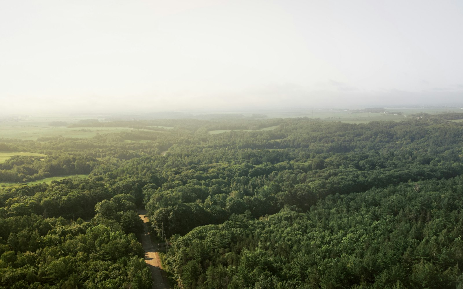
The problem
Ground teams cover terrain at walking speed.
Woods, water edges, and rough country swallow search hours. Darkness stops most efforts cold, and every passing hour shrinks the search radius that matters.
Thermal-equipped aerial search support for agencies and ground teams — day or night, over terrain crews cannot cover fast.
A radiometric sensor reads temperature at every pixel, so a person, a campfire, or a running engine stands out against cold terrain — and every finding maps to exact coordinates your ground team can walk to.
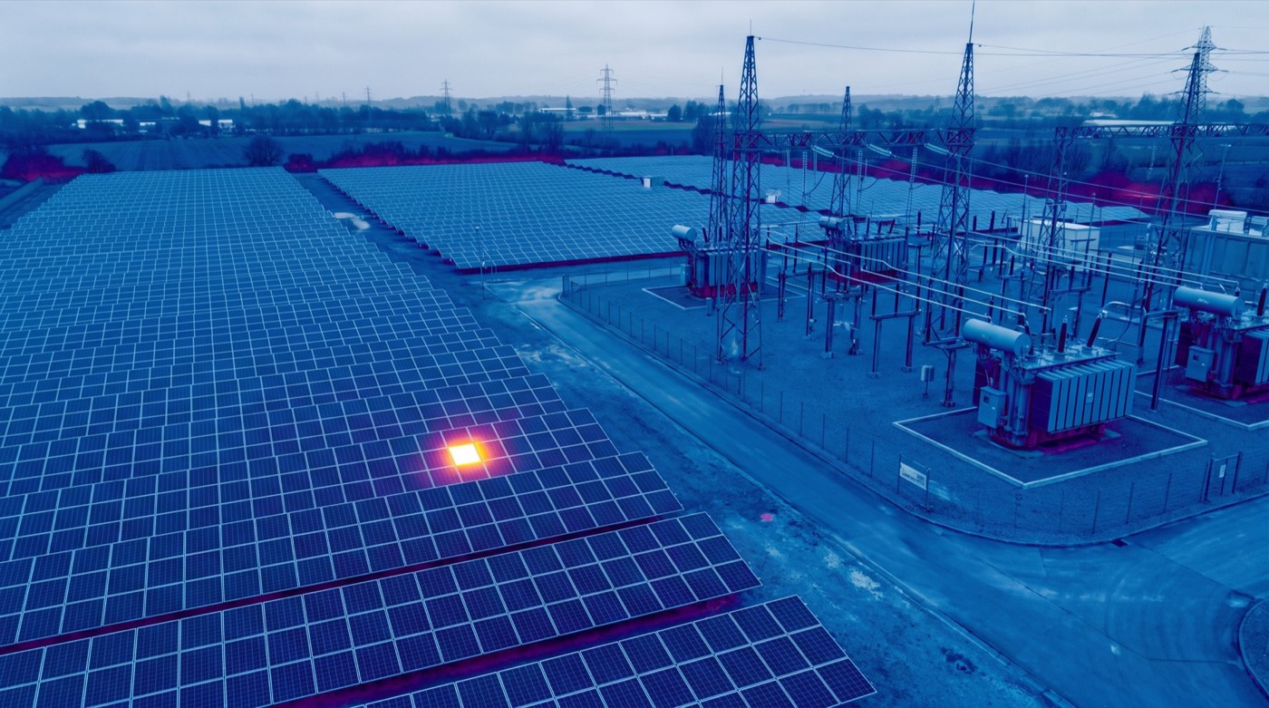 Heat signaturegeoreferenced
Radiometric scan°C / pixel
Day or nightno ambient light needed
Sector sweepflown to a grid
Heat signaturegeoreferenced
Radiometric scan°C / pixel
Day or nightno ambient light needed
Sector sweepflown to a grid
Woods, water edges, and rough country swallow search hours. Darkness stops most efforts cold, and every passing hour shrinks the search radius that matters.
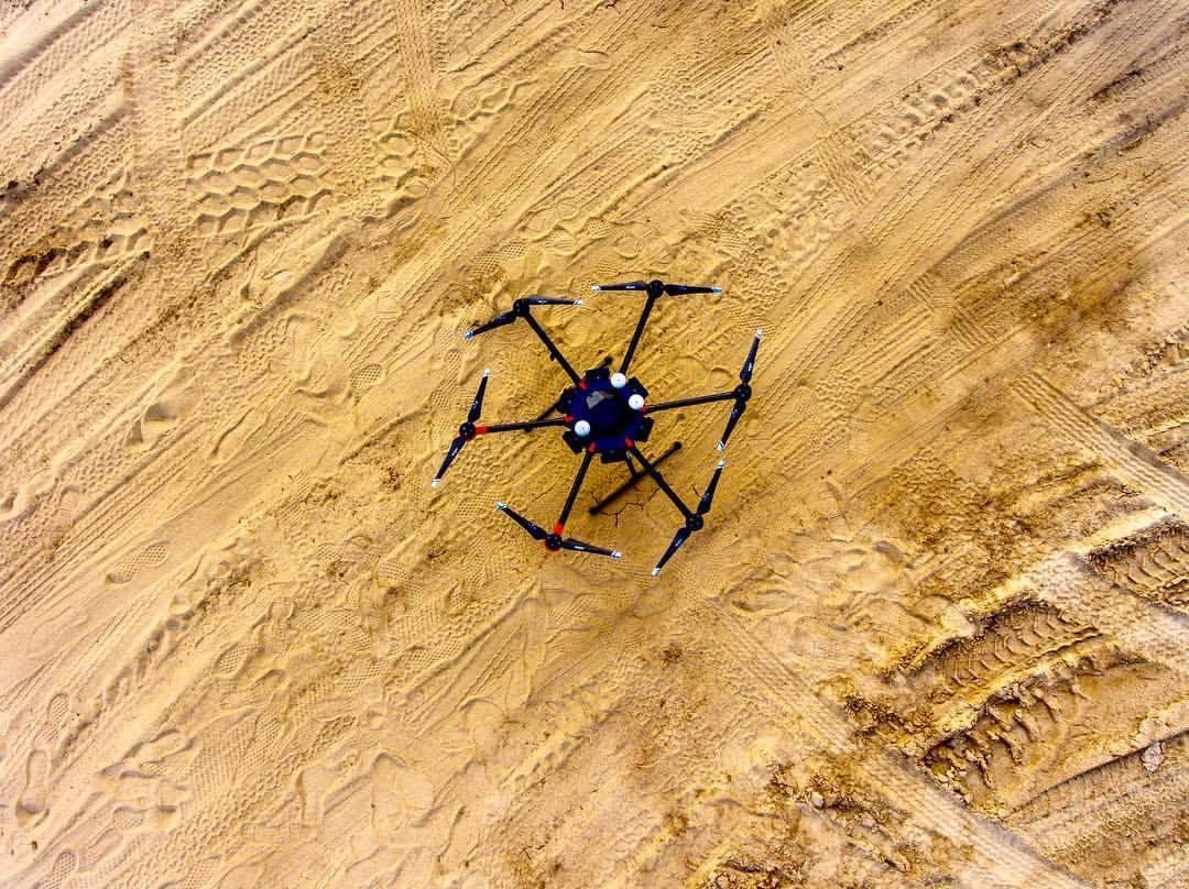
Flown to a grid in coordination with incident command, the aircraft covers a sector faster than a line of searchers — without pulling anyone off the ground effort.
Radiometric thermal reads temperature at every pixel. A person reads warm against night ground, and each detection is georeferenced to exact coordinates.
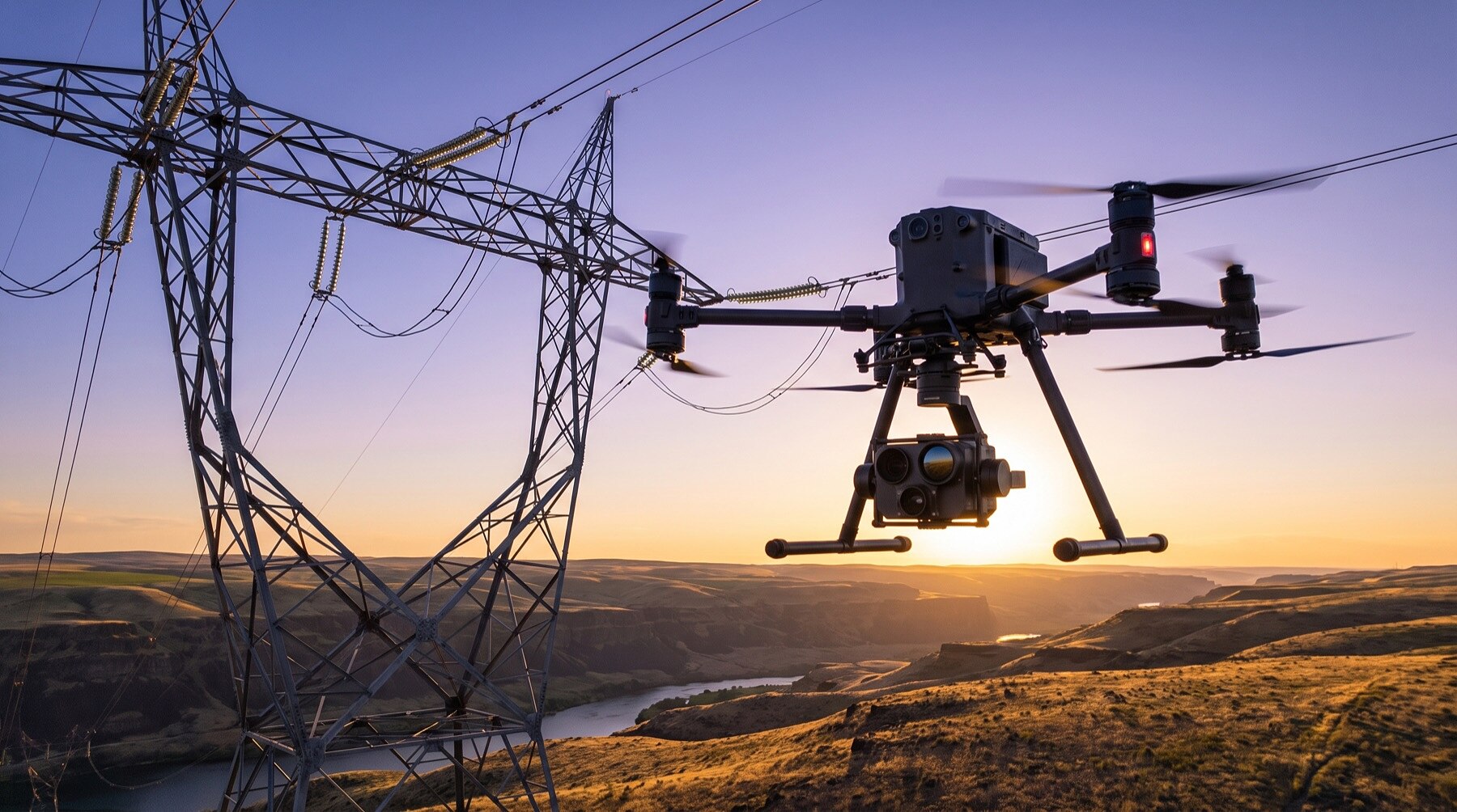
Findings go to incident command as coordinates and imagery, and the full flight record becomes part of the incident documentation.
Skyflex supports agencies, emergency managers, and organized search teams with thermal-equipped aircraft that cover terrain far faster than ground crews. A radiometric sensor reads heat signatures through darkness, light vegetation, and open water edges — day or night.
We are based in Mississippi and respond nationwide. If you are an agency or search coordinator and want Skyflex on your call list, reach out and we will walk through capabilities, response times, and coordination protocols before you ever need them.
We support the incident commander — we don’t replace the plan. Our pilots brief with your team, take an assigned sector and altitude block, deconflict with manned aviation, and report findings as coordinates with imagery. Everything we fly becomes part of the incident record: flight logs, sensor data, and time-stamped detections.
The same aircraft support flood and disaster response: mapping inundation extents, checking road and bridge passability ahead of ground convoys, and documenting damage for the recovery that follows. One call, one crew, from the first search sector to the final damage report.
Our FAA-certified pilots are ready to deploy. Get your free site assessment today.