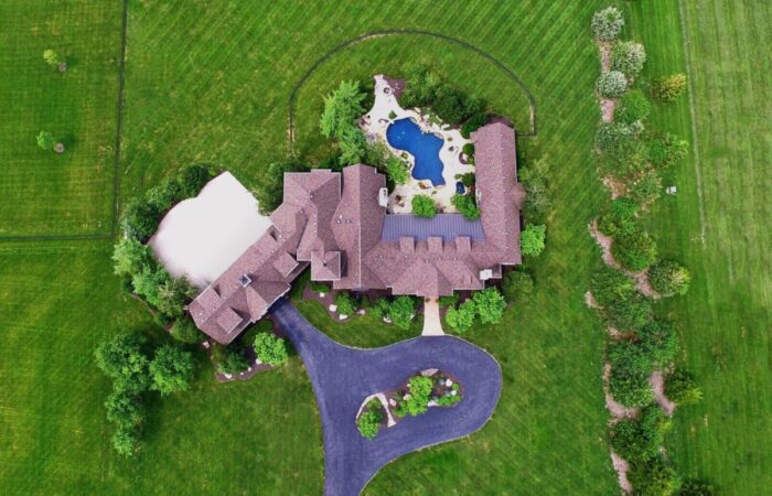
Drone technology has radically altered this landscape making high quality aerial photography, videography and panoramic imagery available at affordable costs.
As one of the pioneers in the drone industry, Skyflex has assembled a team of experts that span across several specialized disciplines, namely: photogrammetry, survey, civil engineering, GIS, mapping, aerial imaging and drone technology.
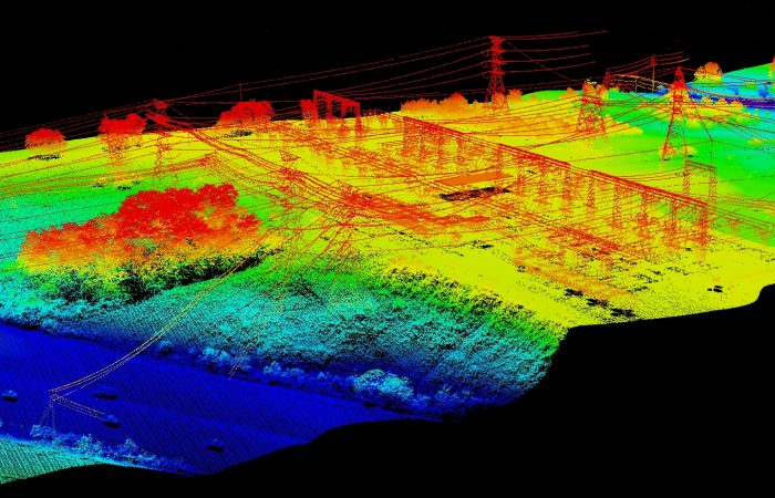
Drone inspection solutions are at least 4 times faster than traditional climbing and inspection methods and significantly improves safety.
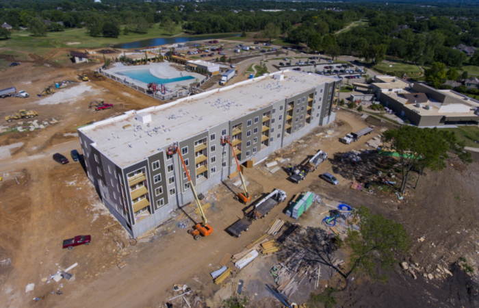
Construction companies, general contractors and engineers all are keenly interested in what is going on at a job site. From the bid package to the inception of a site plan and Earthworks all the way through a project’s final completion.
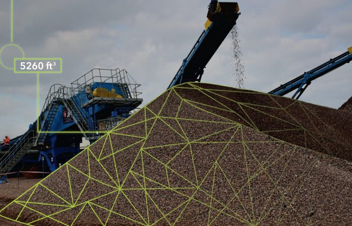
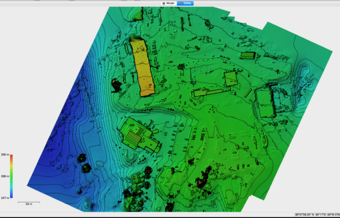
Processing data using photogrammetry and computing stockpile volumes is quick, safe and significantly less expensive than traditional survey and measurement methods.
SKYFLEX has amassed a wealth of knowledge, specialized expertise and contacts in the drone services industry.
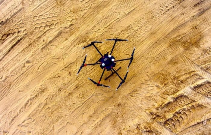
We utilize both Multirotors & Fixed Wing Unmanned Aerial Systems attached with the latest in Sensor Technology; e.g. DSLR, FLIR (Thermal), LiDAR (Laser), NDVI (Multi-Spectral), & More. All acquired data is then imported into our Post-Processing Software to be professionally analyzed and manipulated accordingly.
